
What can you build at this address?
All the rules and registers that apply to a plot, in one place: monuments, government restrictions, foundation risk, nature and noise. With the source for every answer.
The check is free: you see the plot, what stands on it and whether there is a monument or protected townscape. The full report costs €39 incl. VAT.
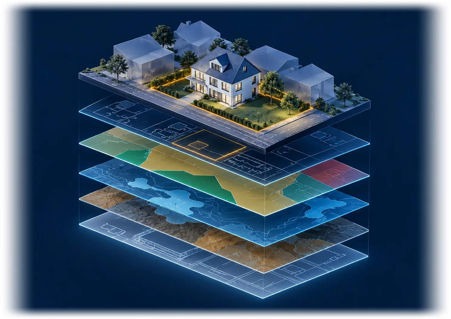
Three questions, one report
What is allowed here?
- Zoning plan
- Environment plan
- Building area and building height
- Building without a permit
What the rules allow on this plot: the zoning (designated use), the building area (bouwvlak), the maximum eaves height and building height, and how many m² and m³ you may build under the zoning plan (bestemmingsplan), with the rules of the environment plan (omgevingsplan). Building without a permit will be added soon.
What could stop your plan?
- National monument (rijksmonument)
- Municipal monument
- Protected townscape
- Foundation risk
- Soil contamination
- Right of first refusal
- Natura 2000
- Permit to split
Every register says: found, not found or not checked. A source that does not respond is not a no.
Where does it come from?
- Kadaster
- BAG
- RCE
- RVO
- RIVM
Every answer with its source and date, from the government’s public registers. With noise and air quality at the address.
Questions
What is in the report?
The plot with its size in the Kadaster (the Dutch land registry), what stands on it (year of construction, use, height), monuments and protected townscapes or village views, what the government has registered on the plot (such as a municipal right of first refusal, a soil contamination decision or a permit to split a property), the foundation risk, Natura 2000 nearby, and noise and air quality. And the zoning plan (bestemmingsplan): the zoning (designated use), the building area (bouwvlak), the maximum heights and how many m² and m³ you may build according to the plan’s map, plus the rules of the environment plan (omgevingsplan), the province and the water board. Building without a permit will be added soon.
What if the report does not help me?
Then you get your money back. Email us within 24 hours of delivery, with the address of the report, and we refund the full amount. This applies to a single scan, not to the subscription.
Where does the data come from?
From government open data via PDOK: the BAG (the national register of addresses and buildings), the cadastral map and the public-law restrictions (publiekrechtelijke beperkingen, Wkpb) of the Kadaster (the Dutch land registry), the Actueel Hoogtebestand Nederland (AHN, the national elevation map), the Cultural Heritage Agency (RCE), the Netherlands Enterprise Agency (RVO; Natura 2000 and the foundation risk) and the Atlas Leefomgeving of the National Institute for Public Health and the Environment (RIVM).
What if the scan fails?
Then you get your money back automatically.
Where can you use the Perceelscan?
Across the Netherlands: every address in the 342 municipalities. The Perceelscan is also available in Belgium, at perceelscan.be.
For property professionals: your report, your brand
For property developers, investors and anyone who assesses plots professionally: scan every plot you are considering and share the report in your own branding and on your own domain, with your partners, your lender or your client.
Your branding
Your logo, colour and contact details on the report page and on the cover of the PDF. For every scan in your subscription, including your colleagues' scans.
Your domain
The link is on report.yourcompany.nl, not on perceelscan.com. Two records at your domain provider; we take care of the certificate.
Your name as the sender
You email the report from My plots to whoever you like: they see your name and logo, and any reply comes to you.
Updated on